
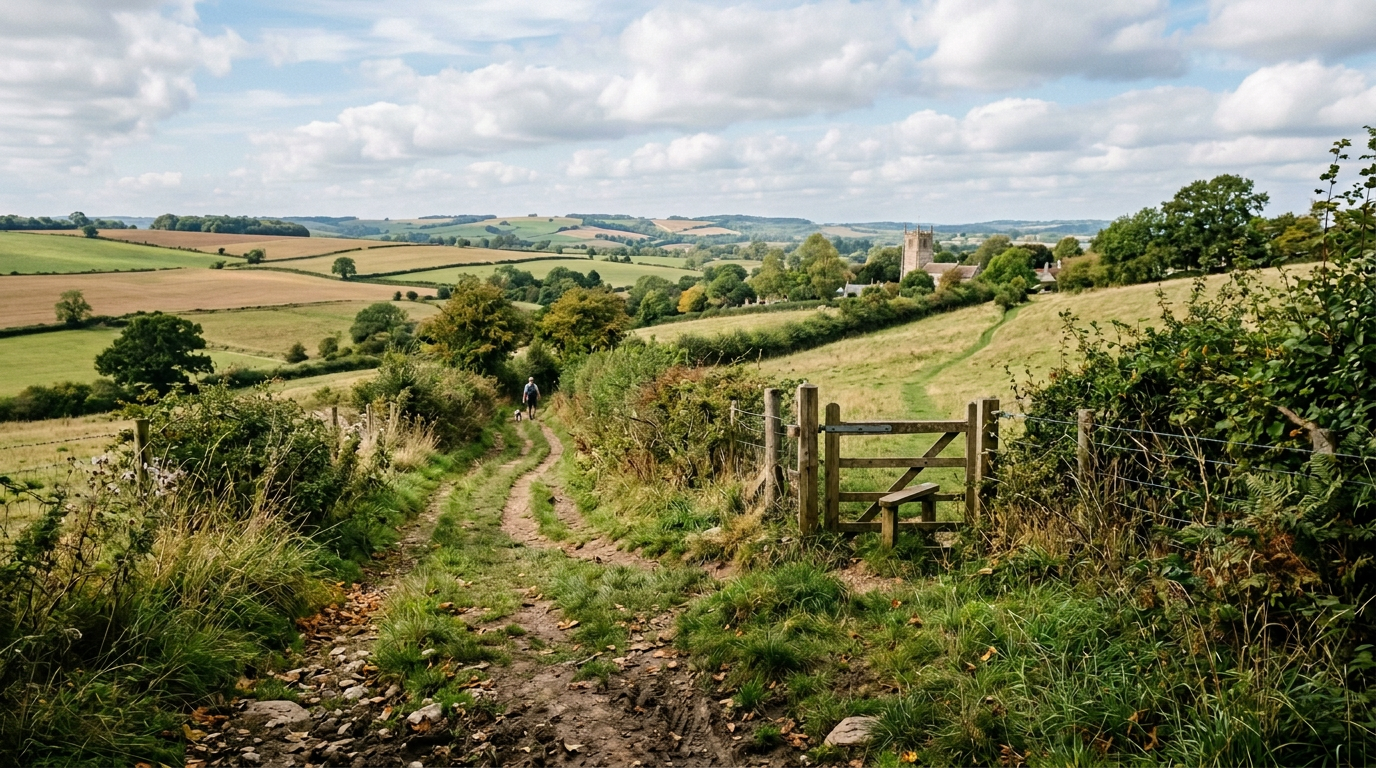
Local Public Rights of Way Maps
Below are the public rights of way maps for the areas surrounding Buckhorn Weston and Kington Magna. The maps can be enlarged by clicking on them. The green dotted lines represent the public rights of way. For more comprehensive information refer to the Definitive Map of public rights of way in Dorset.
For further information regarding public rights of way in Dorset visit the Dorset Council Rights of Way page.


Key Guidance and Rules for Rights of Way in Dorset
- The Definitive Map: This is the official legal record of all public rights of way in Dorset. If a path exists on the ground but is not on the map, or if routes are unclear, contact the Definitive Map team early.
- Network Size & Composition: The council maintains about 4,700 footpaths, 1,700 bridleways, and 37 byways (totalling ~3,000 miles).
- Landowner Responsibilities:
• Stiles and Gates: Landowners are responsible for maintaining stiles and gates, and Dorset Council typically contributes a minimum of 25% toward repairs or replacements.
• Vegetation: Landowners must cut back overhanging trees and hedges from the path. (The council clears surface undergrowth).
• Ploughing and Cropping: Cross-field paths must be reinstated within 14 days of ploughing or drilling, and field edge (headland) paths must remain unploughed and clear.
• Obstructions & Electric Fences: Blocking a path is illegal. Electric fences across or adjacent to a route require proper warnings and must maintain the legal width.
• Bulls: Under Section 59 of the Wildlife & Countryside Act 1981, bulls are banned on public rights of way unless they are under 10 months old, not a dairy breed, or accompanied by cows or heifers. - Council Responsibilities:
• Signposting: The council must signpost paths where they leave metalled roads and at non-obvious junctions.
• Bridges and Surfaces: The council maintains safe bridge structures and the natural or surfaced path bed. - Reporting Problems: High-priority hazards (such as dangerous bridge structures, severe injuries, or dangerous animals on a path) are targeted for response within two working days. To report a problem or track an existing problem visit the Dorset Council Report aProblem on a Public Right of Way page.
Rights of Way Improvement Plan (ROWIP)
Dorset’s updated strategy for 2026–2036 sets priorities for network accessibility, active travel, and green infrastructure. You can review the strategic outline and future development goals on the Dorset Council Rights of Way Improvement Plan page.
Public Rights of Way Maintenance
Under UK law and Dorset Council Public Rights of Way Maintenance guidelines, farmers and landowners have strict legal responsibilities when ploughing or cropping land crossed by a public right of way.
The rules depend entirely on whether the path crosses through the middle of a field or runs along the edge.
Cross-field Paths (Footpaths and Bridleways)
If a public path runs directly through a field, you are legally permitted to disturb the surface by ploughing or cultivating only if it cannot be reasonably avoided. However, you must adhere to the following:
- 14-Day Reinstatement Rule: You must reinstate the surface of the path within 14 days of the first disturbance if you are preparing the ground for a crop.
- 24-Hour Rule: If you disturb the path again during subsequent cultivations (such as harrowing or rolling) after the initial 14 days, the path must be reinstated within 24 hours.
- Reinstatement Criteria: The path must be leveled, rolled, firmed down, and its line made clearly visible on the ground so walkers and riders can safely use it.
- Crop Growth: You must ensure that growing crops do not obstruct or overhang the path.
Headland Paths (Field-edge Paths)
- Ploughing Prohibited: You must never plough or cultivate a public right of way that runs along the edge of a field or a hedge line (a headland path).
- Minimum Widths: These paths must be left completely undisturbed to their full statutory or recorded width.
Restricted Routes
- Byways and Restricted Byways: You cannot plough or disturb the surface of a Byway Open to All Traffic (BOAT) or a Restricted Byway under any circumstances.
Minimum Legal Widths for Reinstatement
If the specific width of the right of way is not recorded in Dorset Council’s Definitive Map, you must reinstate the path to at least the statutory minimum widths defined by the Highways Act 1980:
- Footpath: 1.0 metre for cross-field paths and 1.5 metres for headland paths
- Bridleway: 2.0 metres for cross-field paths and 3.0 metres for headland paths
Penalties and Enforcement
Failure to reinstate a path or letting crops obstruct a public route is a criminal offense. Dorset Council has enforcement powers to:
- Issue a legal notice requiring you to clear or reinstate the route.
- Enter you land, carry out the reinstatement works themselves, and charge you for the full cost of the work.
- Prosecute repeat offenders.
The Countryside Code
The Countryside Code is a set of guidelines for visiting and managing the outdoors in England and Wales, structured around three core principles: Respect everyone, Protect the environment, and Enjoy the outdoors.
You can read or download the complete official rules via the GOV.UK Countryside Code Leaflet.

